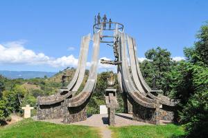
Maybe you have wondered who the Mayas were, in which country they were located, and the reason for their mystery, and here you will find all the answers. Join us on this beautiful and fascinating tour through the Mayan Route of El Salvador.
Be part of the archaeological wonders that Central America offers us, showing us its strong culture that for centuries made life in this part of the continent. This archaeological route takes us into eight important Mayan towns that, with each step, will show us the history of the Salvadorans of that time. These cities and Mayan ruins are Tazumal, Quelepa, Cihuatán, Joya de Cerén, San Andrés, Santa Leticia, Casa Blanca, and Cara Sucia.
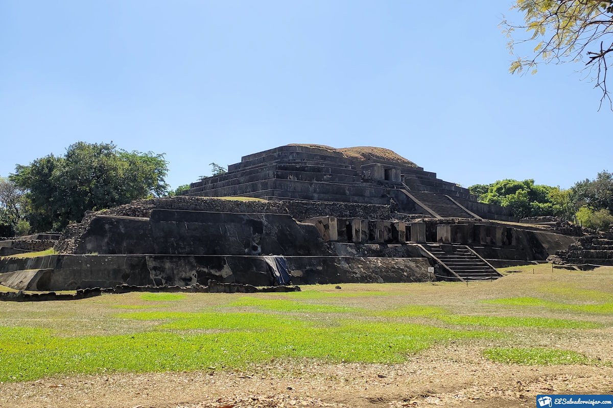
MAYAN ROUTE - Routes of El Salvador. Photo by ElSalvadorViajar.
In pre-Columbian times, it became one of the most important cultures due to its architectural advances. Even UNESCO named Joya de Ceren a world heritage site.
It is where archaeological treasures, large-scale constructions, and areas that have not yet been excavated have been found.
So without further ado, let’s take a walk through this beautiful Route, which will undoubtedly be your next destination when you want to vacation with your family.
What to see and do in the Mayan Route?
The Mayan Route offers us beautiful archaeological sites divided into different parts of El Salvador that you can’t miss. This tour starts in:
Tazumal
Known as the city where souls are consumed, we have the Tazumal Archaeological Site on the Mayan Route, in the center of the municipality Chalchuapa, department of Santa Ana. Within the western archaeological zone.
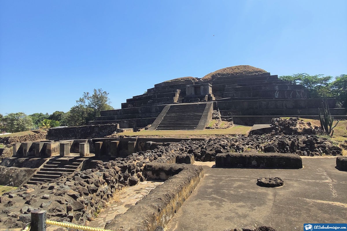
It occupies a territory of approximately 10 square kilometers. We can also observe numerous places of equal historical vitality, as in the case of El Trapiche, Casa Blanca, and other surrounding areas.
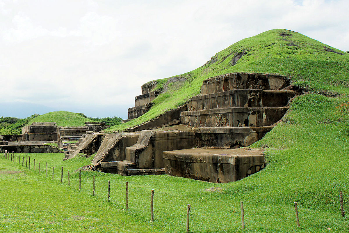
The Tazumal Mayan Route is about 80 kilometers from San Salvador, formed by a complex of buildings that were Mayan settlements from 100 to 1200 AD. Among the structures that stand out is the largest pyramid built in El Salvador, which is more than 24 meters high.
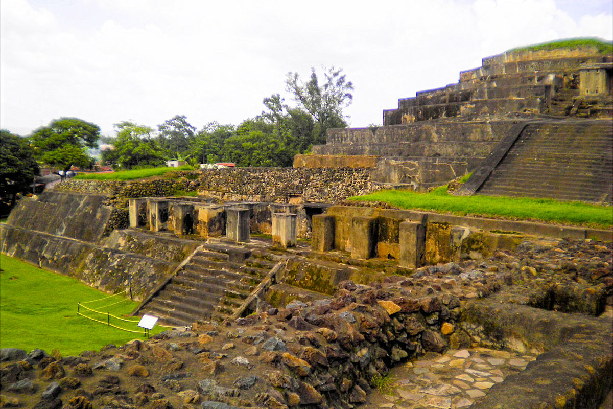
It is constituted by several construction phases in which the influence of the Copan, Teotihuacan, and Toltec peoples stands out. On the other hand, necklaces, mirrors, rings, and other relics; are in the area where the tombs are, and they were given as funerary offerings.
Quelepa Archaeological Site
The Quelepa Mayan Route is near the northeast of the town of San Miguel. Here we can appreciate the impressive beauty of the Quelepa Ruins along the streams of the San Esteban River.
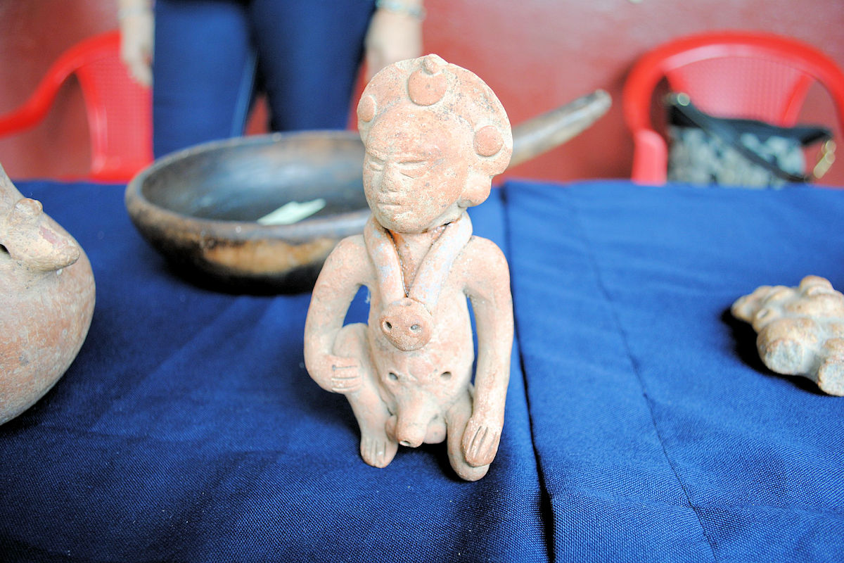
It’s also inhabited in its entirety by the Lenca people. It has 40 structures in an area that covers about ½ km2. This Mayan city was hidden for most of the colonization period due to its extensive vegetation and jungle.
Its most striking piece is a relic of stone with a grid shape, and it is engraved on its four sides with low relief. Call it the “Altar of the Jaguar” because it illustrates the heads of this specimen.
Cihuatán
It’s approximately 35 km north of the city of San Salvador between the Troncal road and the Acelhuate River. This route owes its name to Nahuatl origin, meaning “Place of Women.”
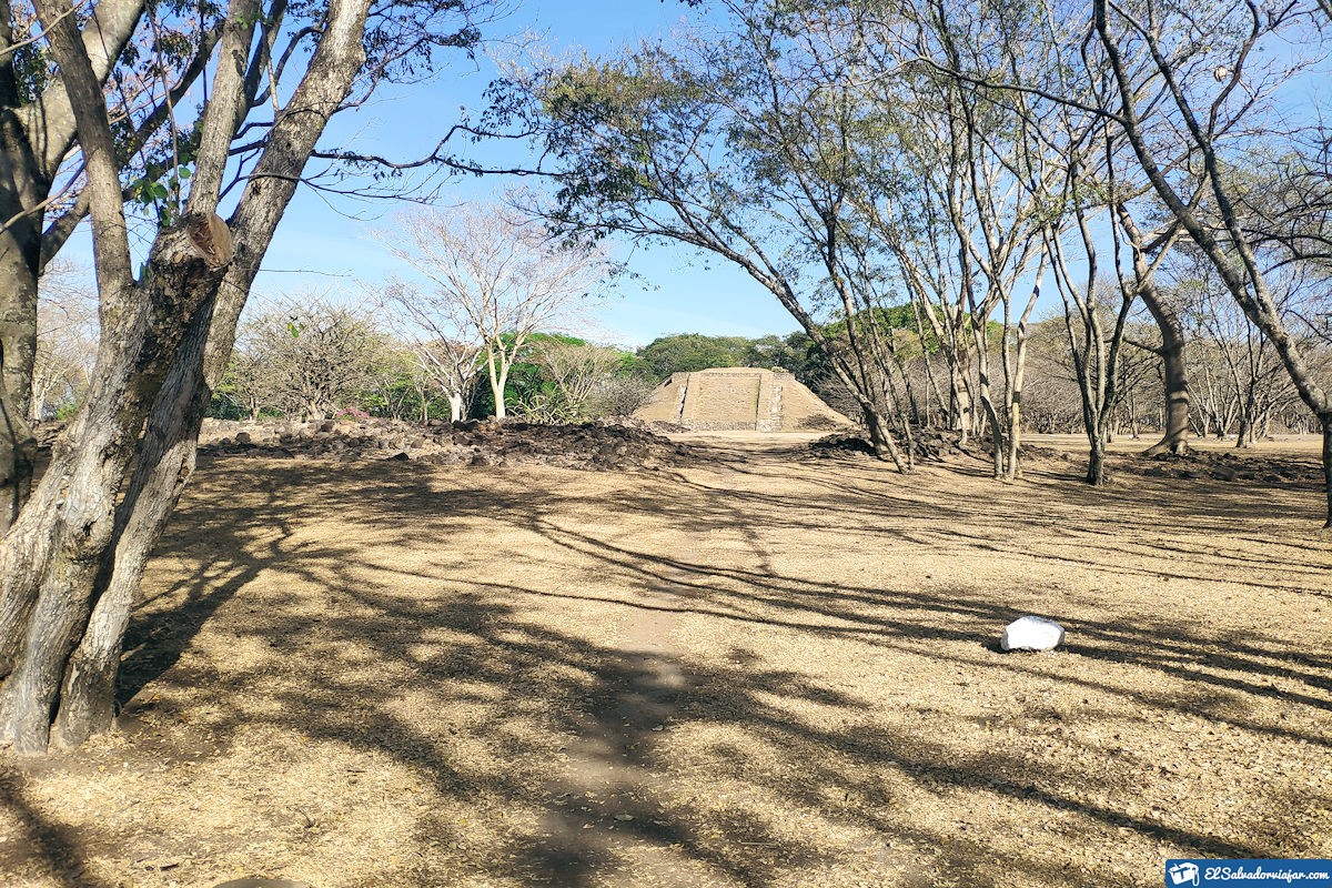
The remains we can find in this archaeological site are scattered in an extension of land that reaches about 55 hectares. Among the most important discoveries are ceramic pieces.
Found these relics in the eastern and western ceremonial centers. The former is more than 30 meters long.
The Maya Cihuatán Route presents an imposing walled sector, which by its dimensions, gives the impression of being one of the places where the ball games took place. That, in turn, was a kind of religious rite called “tlachtli.”
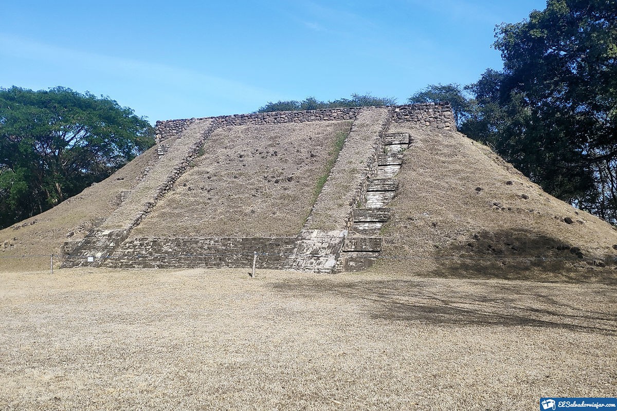
Part of its most emblematic constructions is the Main Pyramid, with an elevation of more than 12 meters and 36 meters at its base. It connects to other buildings through steps.
Finally, some tunnels were found and used to channel and bring water from the Acelhuate River to the area that is for agriculture.
Joya de Cerén Archaeological Site
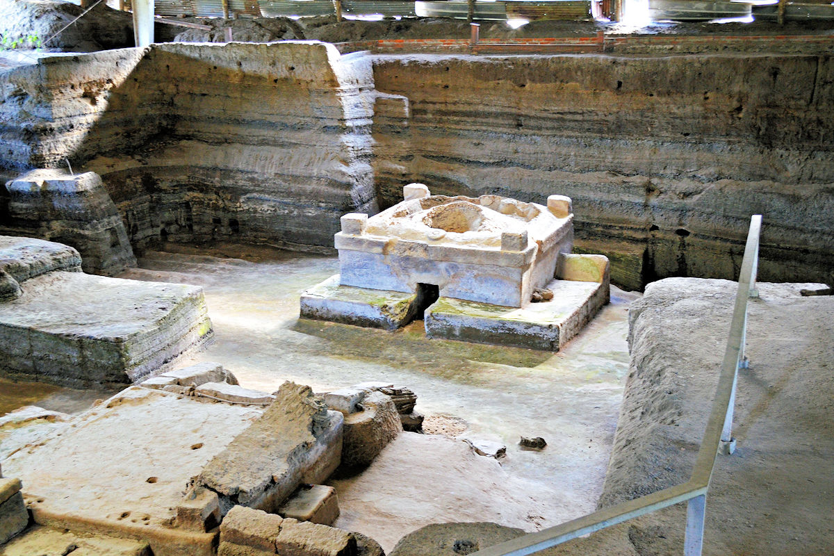
This beautiful route is in the department of La Libertad, and its discovery dates back to 1976. The Joya de Ceren Archaeological Site is also known as “The Pompeii of Central America” since it was prey to a volcanic eruption in 600 AD.
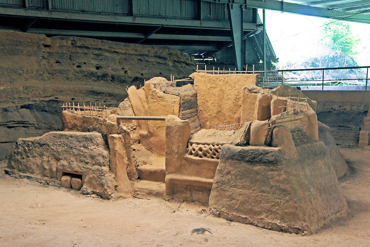
It has become one of Mesoamerica’s most relevant Mayan sites, giving details of how the people lived. It is also a World Heritage Site since 1993.
Additionally, Joya de Cerén is formed by three excavation zones where it is possible to visualize ten defined structures. In which found relics of the customs of that time and how religious ceremonies were carried.
The areas for sacrifices to the gods, shamanic rites, the homes of the town’s leaders, and more stand out. Excavations in the area have led to the discovery of cellars, clay dishes, and vessels that still preserved foodstuffs.
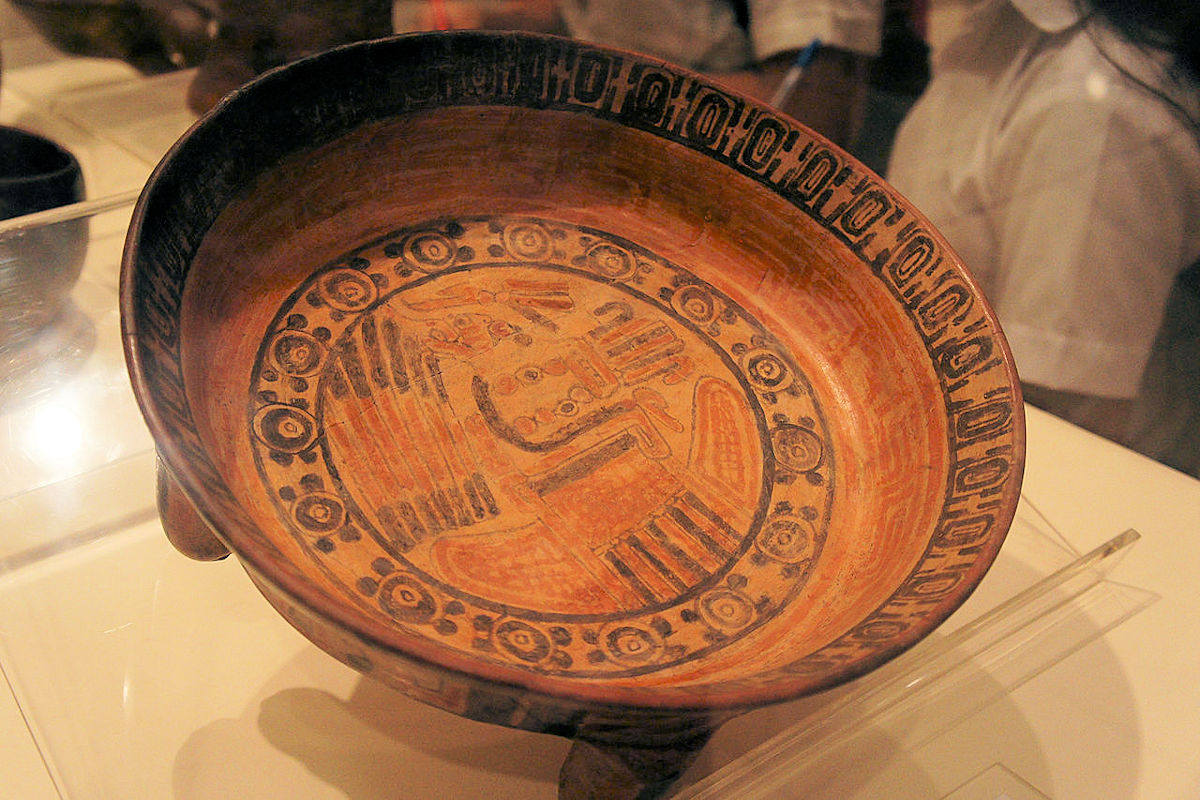
You can find all these treasures in the Joya de Cerén Museum. It consists of 3 rooms that give a tour of all the customs of this Mayan people, and it also has a section dedicated to volcanology in the region.
The visits can be individual or group with the accompaniment of a free guide. All visitors can also visit the archaeological area once the museum tour finishes.
San Andrés Ruins
On the Mayan Route, we can visit the Ruins of San Andres, located about 32 kilometers from San Salvador, belonging to San Juan Opico, La Libertad. According to numerous investigations and excavations, it was a commercial and even political ceremonial center. The result was the origin of one of the most imposing Mayan cities in the country.
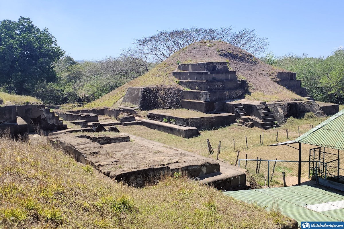
Archaeologically, it demonstrated that this route maintained close contact with the inhabitants of Teotihuacan and Copan. It also established commercial ties with distant towns such as Belize and the Guatemalan Petén.
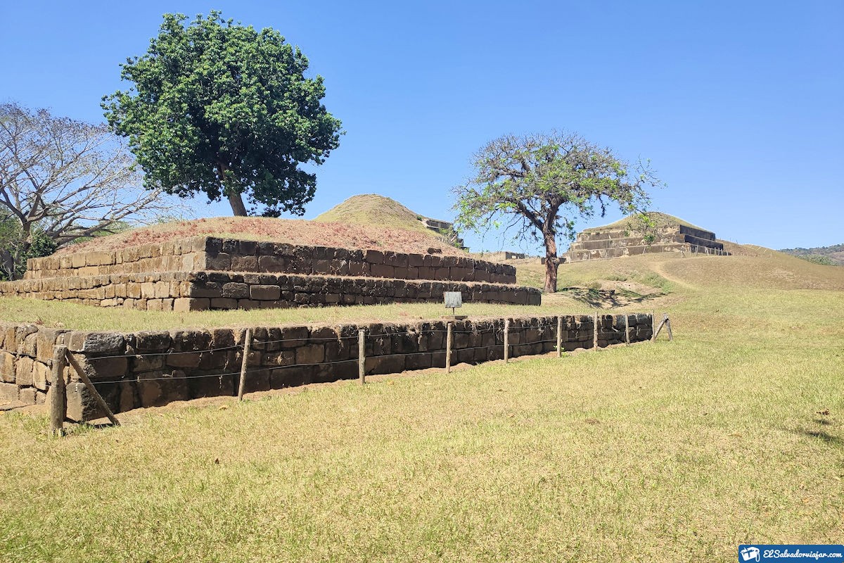
Inside the excavation area is a museum with a permanent exhibition of all the archaeological artifacts found. Two of the rooms are the discoveries made, and the last one shows the life of the Mayan people during the colonization.
Santa Leticia Archaeological Site
It is located 1,400 meters above sea level; this archaeological site is formed by a slope of coffee cultivation on a volcanic peak. It occupies an area of approximately 15 hectares.
The Santa Leticia Mayan Route served as a shelter for many settlers in the 5th century B.C. when built the settlement of the Santa Leticia Zone and other nearby territories.
We can find some sculptures called the three gordinflones, gorditos, or barrigones—each with different weights and dimensions. The smallest one, has a little more than 6,350 kg, the other more than 9,070 kg and the last one, more than 9,500 kg.
It is believed that these sculptures were hidden for more than two millennia until Simeon Habel found them in 1878. However, did not take the review made by the German was not taken into account, so the “chubby” continued in anonymity.
It took about 100 years for their rediscovery. Thus, in 1963 Mr. Ricardo Valdivieso stumbled upon the sculptures by accident. The archaeologist Stanleys Boggs, a member of the Cultural Patrimony of El Salvador, achieved the first investigations.
Casa Blanca Archaeological Site
Undoubtedly, this route covers the most significant archaeological area of El Salvador. Although it has an average of 6 hectares, it joins other sites such as El Trapiche, Victoria, Tazumal, Laguna Seca, Casa Blanca, and Laguna Cuzcachapa.
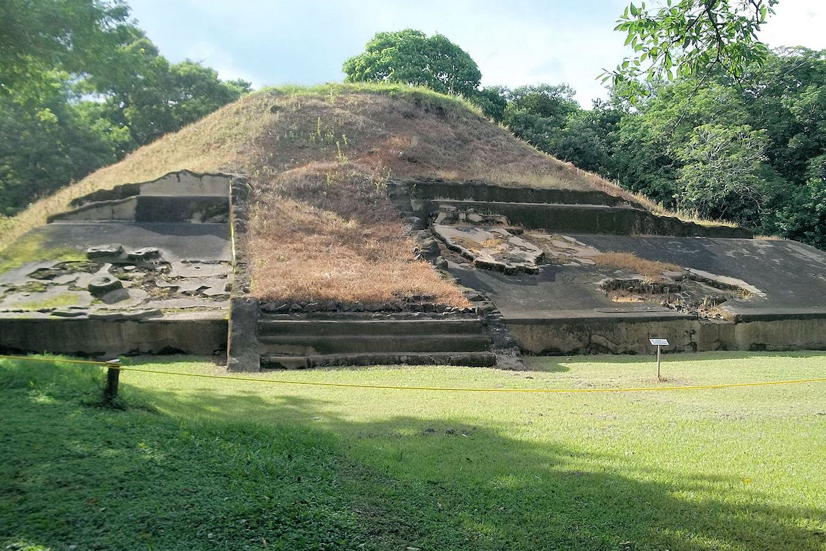
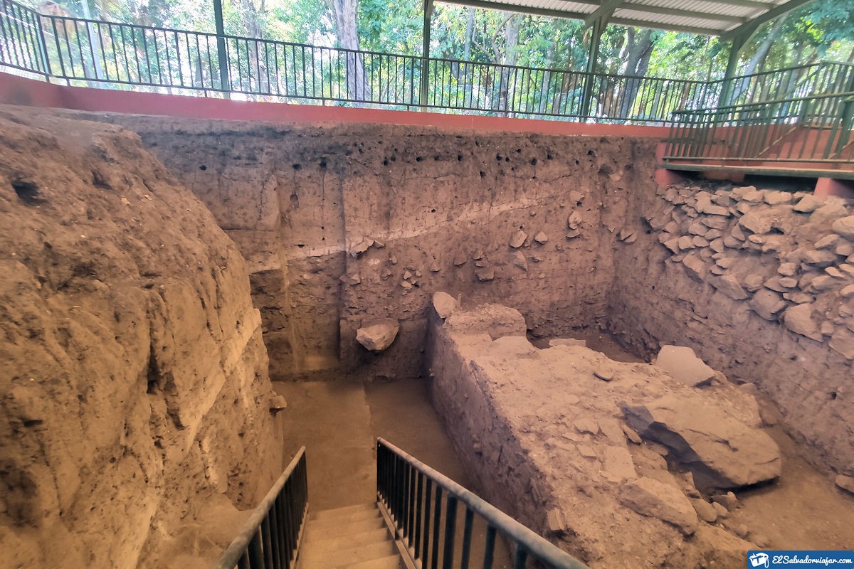
On the Mayan Route, we have the Archaeological Site Casa Blanca, located in Chalchuapa, Santa Ana. About 10 minute drive from Tazumal. Casa Blanca has essential findings, such as the first temples built approximately 1500 years B.C. Vestiges of cultures such as the Nahua can be seen in shallow trenches.
In its adjacent center, El Trapiche has located the largest pyramid of El Salvador. Just in front of it was a plaque containing a text destroyed in the ancient era.
According to research and findings, this area had a significant human presence for more than 5,000 years. Over the centuries, the Mayan people built villages and different structures until the arrival of the colonizers.
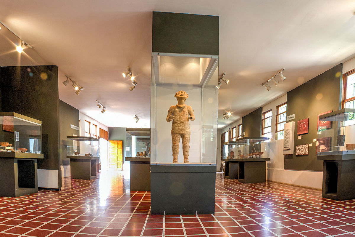
The site museum has numerous examples of ceramics, knives, and stone sculptures from the excavations. Also displayed are offerings from the pre-Columbian era and the only inscribed plaque found in El Salvador.
Cara Sucia
Casa Sucia is in the department of Ahuachapán, southwest of the city of San Salvador, near the Guatemalan border. This Mayan Route presents an archaeological structure of 30 visible mounds.
This structural formation consists of earth fills covered with stone from the river near Cara Sucia. Carefully selected, these stones were to have the most uniform diameter possible.
According to some investigations, this area was populated from 900 B.C., presumably by the Maya people, until the 600 A.D. Period, which concluded after the Ilopango volcano eruption.
Sometime later, it became a settlement in Cotzumalhuapa, becoming a prosperous community until 900 AD. Among its most important characteristics are the elaboration of copador pottery, salt production, and the cultivation of cocoa and cotton.
Visiting tips
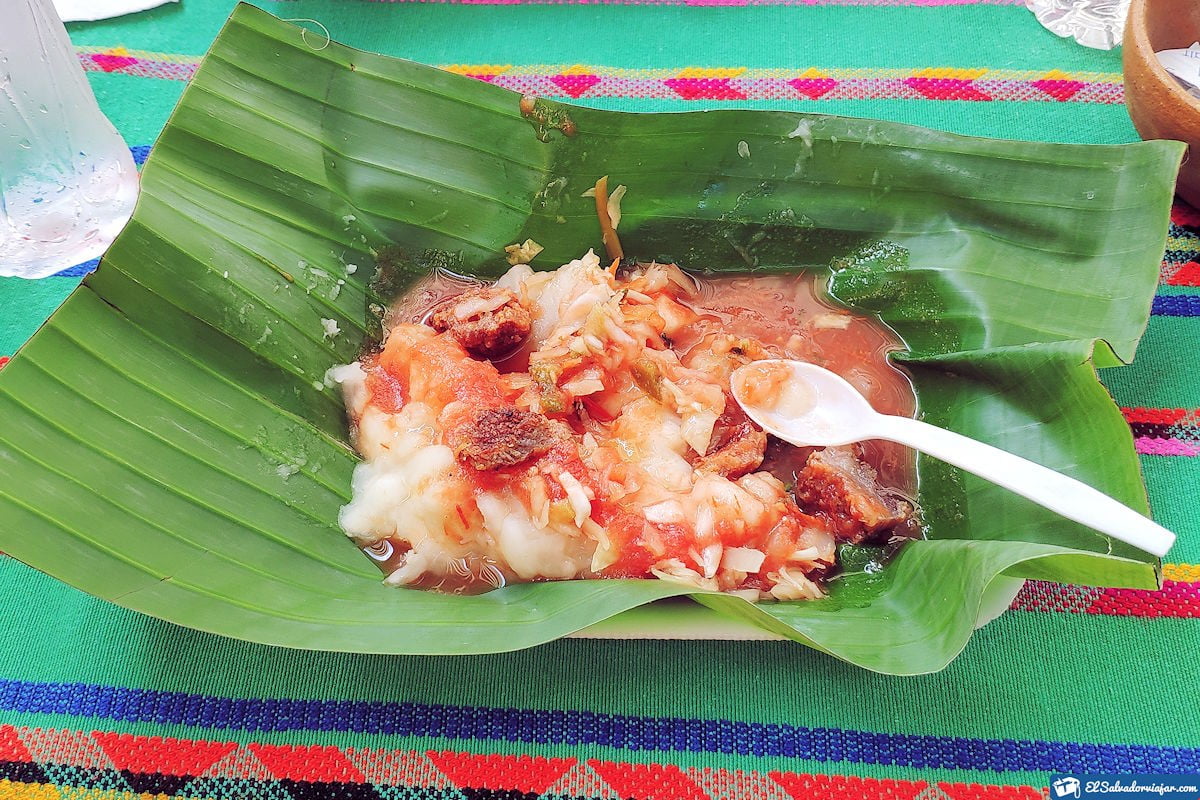
To have an unforgettable trip, you must meet all the requirements to achieve it. The Mayan Route of El Salvador is the most traveled by foreign and local tourists, thanks to its historical, cultural, natural, and gastronomic importance. In food, we recommend you try the famous yucca sold on the outskirts of Tazumal.
For all these reasons and more, the Mayan Route offers one of the most unforgettable travel experiences. If you have already made the decision and you are an archeology lover, you should not miss this marvel that El Salvador has to offer.
Here you will have the opportunity to know closely how these Mayan inhabitants were of normal or famous class life. But in addition, with the help of tour guides, you will have one of the best experiences when touring this fascinating route.
You can enjoy the view of a beautiful and majestic and hire transfer services to and from the hotel of your choice. You should bring your lunch and water supply since there are no places where you can buy food or beverages along the Route.
However, your tour may last approximately 8 hours, so it is essential to follow the indications of the guides. Do not bring pets and return to the meeting point for your return to the lodging site.
Additional recommendations: Prices and schedules
If you wish to do the Mayan Route with little money, it is best to travel by private car, bus or cab. Keep in mind that the archaeological sites open at 8:00 am and close at 5:00 pm.
That said, the only thing you will have to pay for are the entrance fees at some of the archaeological sites:
- Tazumal: $3 foreigners and $1 Salvadorans.
- Quelepa: $3 foreigners and $1 Salvadorans
- Cihuatán: $5 foreigners; $3 Central Americans and resident foreigners; $1 Salvadorans
- Joya de Cerén: $3 foreigners and $1 Salvadorans
- San Andrés: $5 foreigners; $3 Central Americans and resident aliens; $1 Salvadorans
- Santa Leticia
- Casa Blanca: $5 foreigners; $3 Central Americans and foreign residents; $1 Salvadorans
- Cara Sucia: $3 foreigners and $1 Salvadorans.
- On the other hand, if you prefer to hire an agency for convenience, the prices range from USD 99.00 for adults and USD 49.50 for children between 4 and 11 years old.
On the other hand, if you prefer to hire an agency for convenience, prices start at $99,00 USD for adults and $49,50 USD for children between 4 and 11 years old.
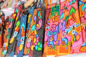
During the tour, you will also find beautiful places of interest on each Route, such as the Route of the flowers and the handicrafts market in Santa Ana. The important thing is that you take some considerations for the trip, such as:
- Wear comfortable shoes and clothes.
- Sunscreen.
- Extra money and cash will be beneficial.
- Camera to film your journey.
- A hat and sunglasses.
If you follow these tips, you can be sure that you will have the best experience. A tour not only through emblematic places; but also through time. One of the most influential cultures in Central America.
