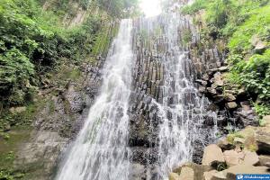
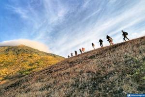
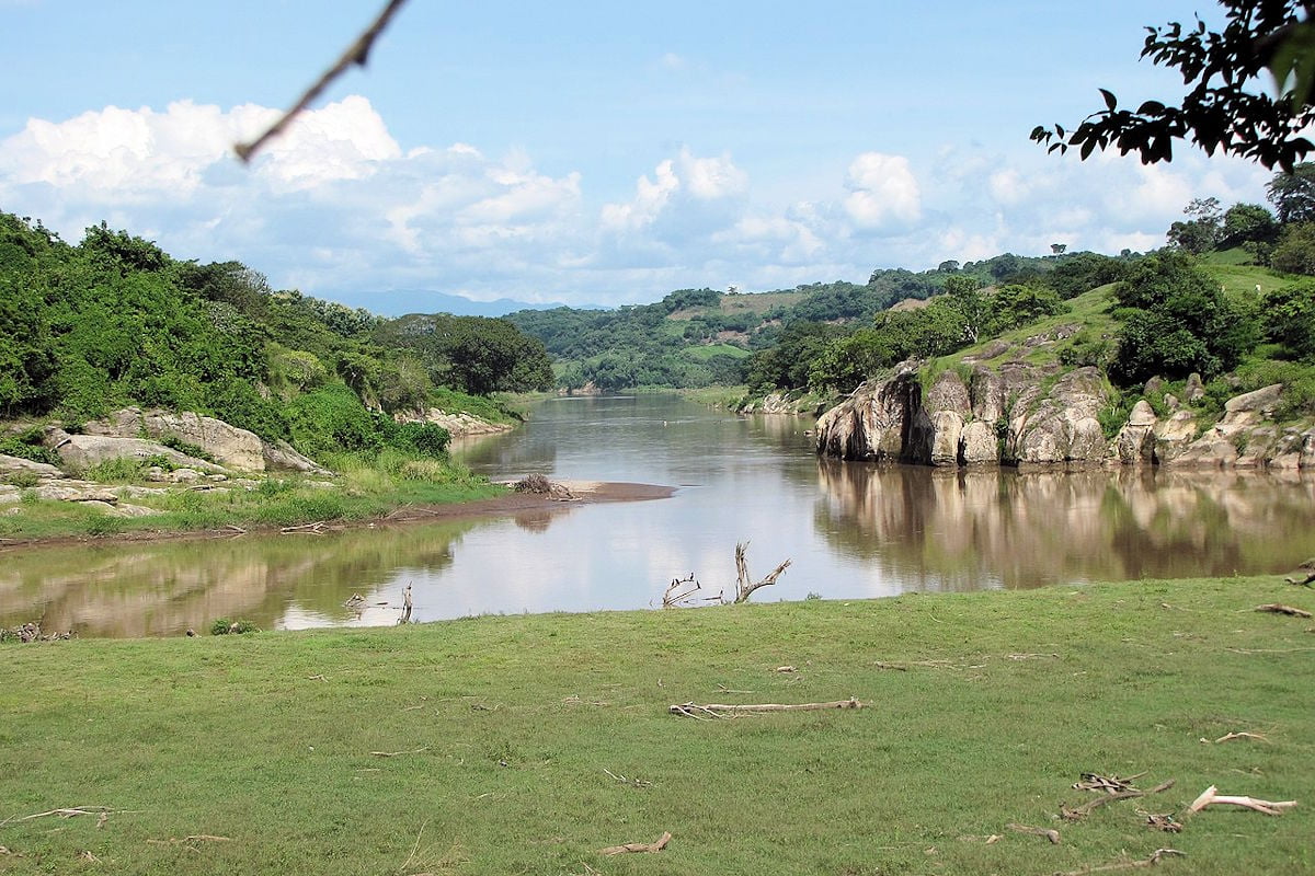
Live a different experience knowing the rivers of El Salvador, one of its most valuable tourist attractions, comprising a large group of freshwater tributaries surrounded by extraordinary natural scenery that invites you to explore them.
El Salvador is bathed by some 300 rivers, where many of those crossing the territory stand out for their long course, being the most plentiful ones, efficient energy generators, and in general, great drinking water suppliers.
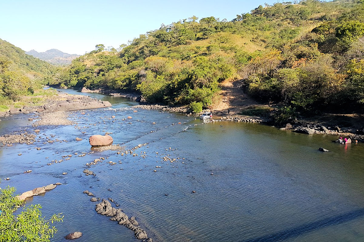
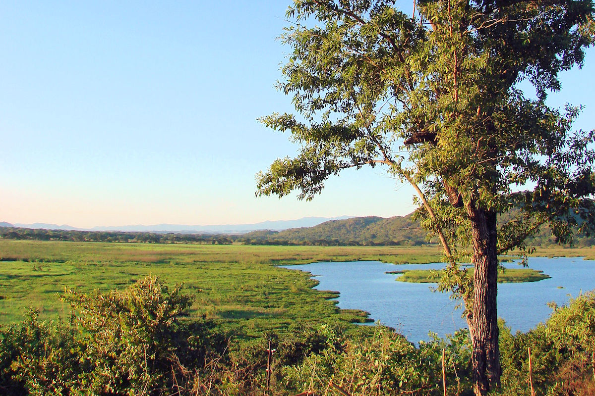
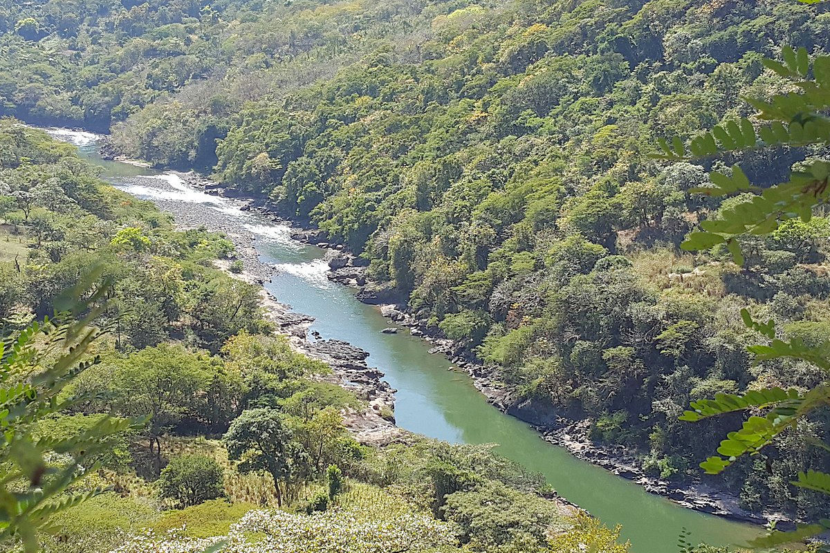
RÍOS DE EL SALVADOR. Foto por Marden Nolasco. Wikimedia Commons.
At the same time, this myriad of exciting bodies of water, characterized by their outlet to the Pacific Ocean, is fed by no less than 58 watersheds, of which 11 are essential.
Of these basins, the four most relevant correspond to the Goascorán, Grande de San Miguel, Paz, and Lempa rivers, the longest and most significant of all the Salvadoran territory.
As if that were not enough, the rivers of this beautiful Central American country also enrich the culture of those who visit them since they enclose a series of particular popular stories that are part of the legends of El Salvador.
Not to mention the various water sports enjoyed in its waters, apart from ecotourism and hiking in their environment, amid a privileged landscape and environment.
So it is well worth discovering what we can see and do in some of the best-known and most visited rivers in El Salvador.
More than a dozen unique waterways are of considerable value as a tourist destination and fundamental axes for the agro-economy and quality of life of Salvadorans.
Lempa River
We begin this guide to the rivers of El Salvador with the Lempa River, one of the largest in Central America and the longest in all of El Salvador.
This splendid estuary, with a total width of 422 kilometers, offers us 360 km of refreshing waters within Salvadoran territory surrounded by various types of forests. The rest of the flow is distributed between Honduras and Guatemala, where it is born, giving it tri-state status.
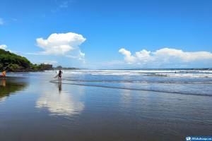
The Father of the rivers of El Salvador invites you to bathe in its waters and stroll and navigate through its various channels in boats and other vessels before flowing into the mighty Pacific Ocean.
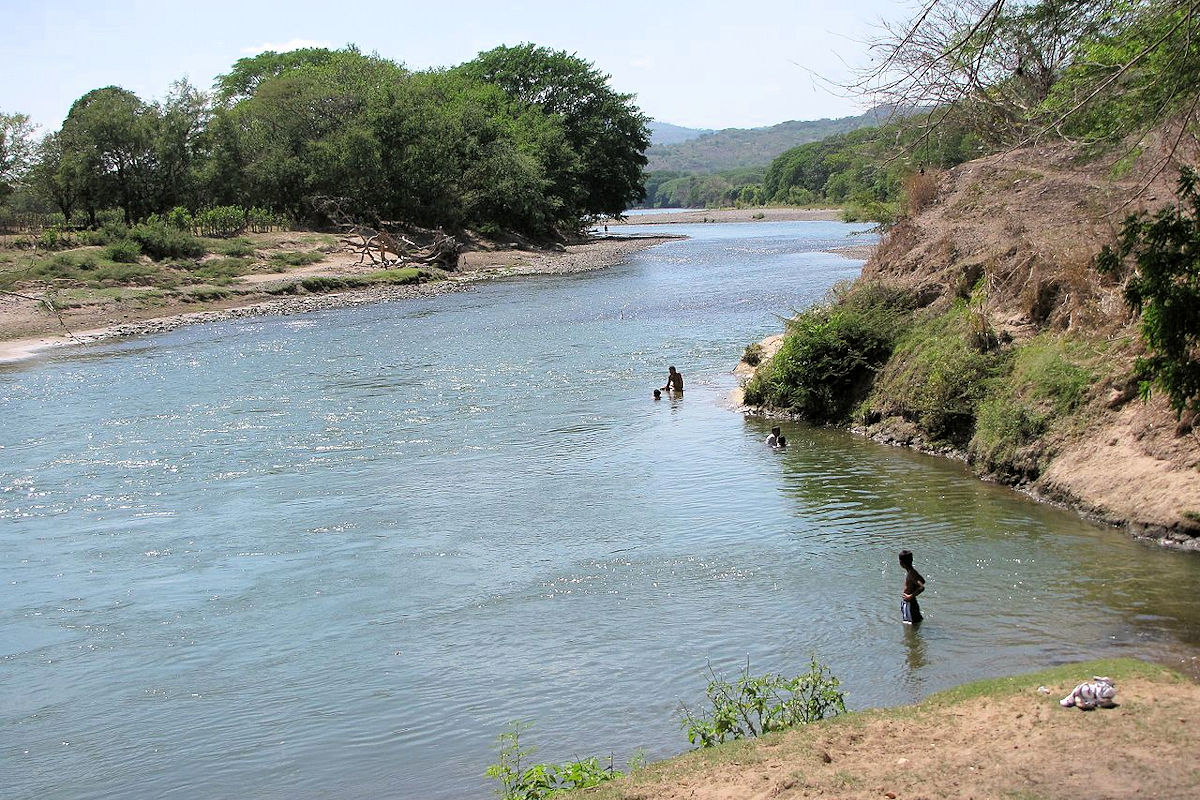
Paz River
With its particularities of geographical border term, which delimits Guatemala and El Salvador and exits to the Pacific, we show you the Paz River, located a short distance from the Amayo volcano. With rich biodiversity and surrounded by countless types of trees, it has become a favorite place among the rivers of El Salvador, being visited by a considerable volume of tourists.
You don’t need a fixed time of the year to visit this heavenly place, where you can enjoy a picnic on its banks or take a healthy walk through its great surroundings since its length comprises 134 kilometers of pure, clean, and charming nature.
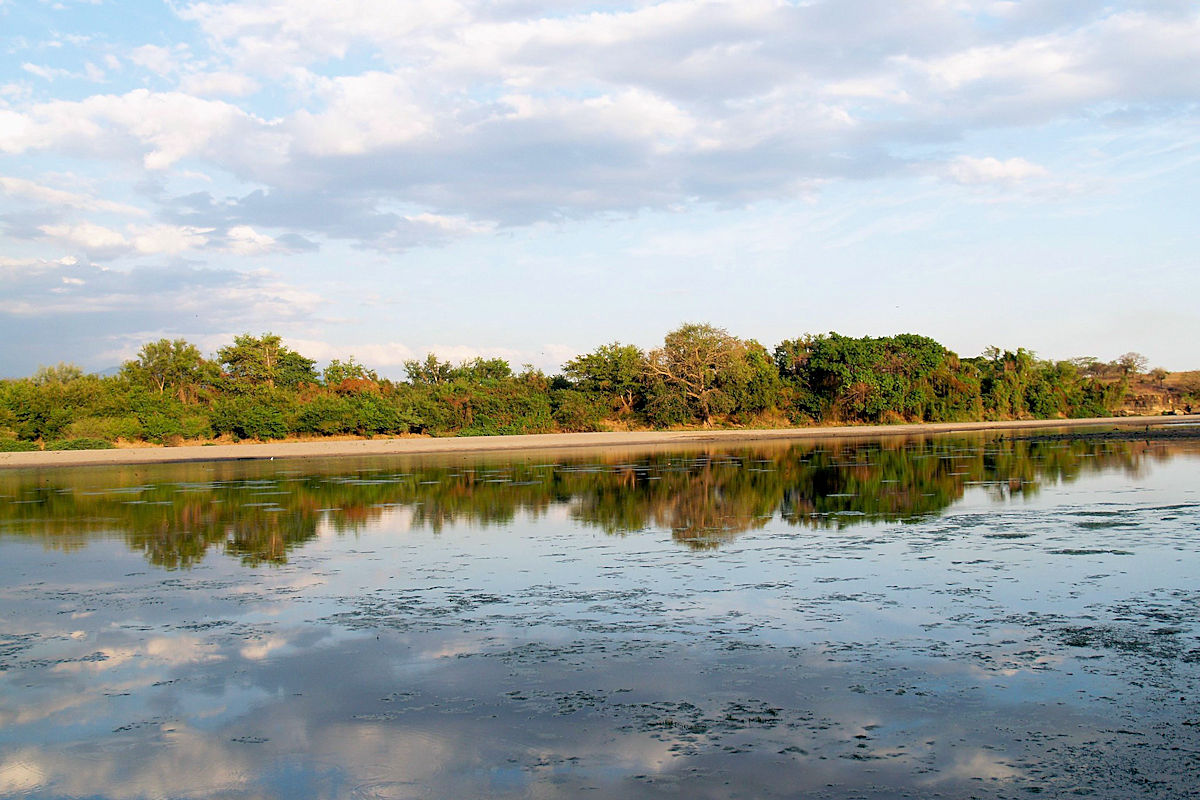
Grande River of San Miguel
Located in the department of Usulután, with the Grande de San Miguel River, we have the second-largest river basin in El Salvador.
It has a total length of nearly 124 kilometers, which, together with its flow, confirms its second place among Salvadoran rivers. Its channel flows into the Olomega lagoon in the southeastern part of San Miguel.
It is located near the Chaparrastique volcano, and its waters have a maximum depth of 8 meters, which ends with the mouth into the Pacific Ocean.
It is certainly not a tourist attraction, but the neighboring landscapes invite you to visit it during the non-rainy season between December and March.
Jiboa River
With its source in San Rafael Cedros, in Cuscatlán, the Jiboa River begins its trajectory towards the Pacific Ocean, crossing 33 municipalities and four departments of El Salvador in a 60 kilometers race.
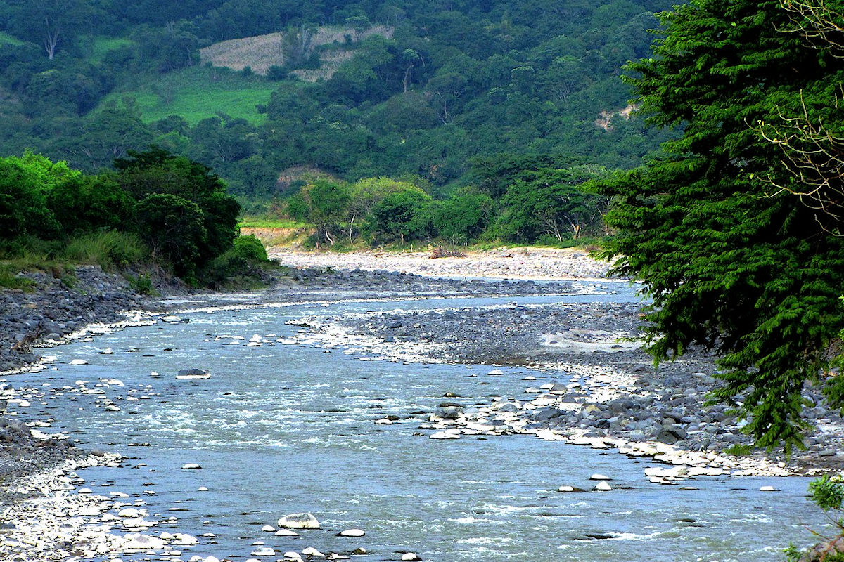
Pride of indigenous ancestors and current inhabitants, the second most important river in El Salvador today only reaches 3 meters deep at its deepest point. It is deteriorated and in danger of disappearing. This is due to the ecocide of its riverbed and tree area, which is the result of the extraction of stone minerals and indiscriminate logging. Even so, it is worth visiting this natural wonder.
Guajoyo River
In the department of Santa Ana, you can visit the Guajoyo River, another of rivers of El Salvador, where you can enjoy sports activities with the whole family.
This torrential river, with a length of approximately 15 kilometers, is a destination frequented by amateurs and experienced rafters in the sport of rafting or navigation downstream through the river rapids. These rapids are classified in classes III to V in various sectors, which makes it possible to practice them according to the level of knowledge.
It is a tributary of the Lempa River, and therefore, its short course flows into the Pacific Ocean.
Sapo River
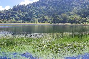
Possibly the most crucial ecotourism experience in Central America can be lived in the Sapo River, classified as containing the purest waters of all the rivers of El Salvador. Located in the department of Morazán, it is part of a protected area called Eco Albergue Río Sapo.
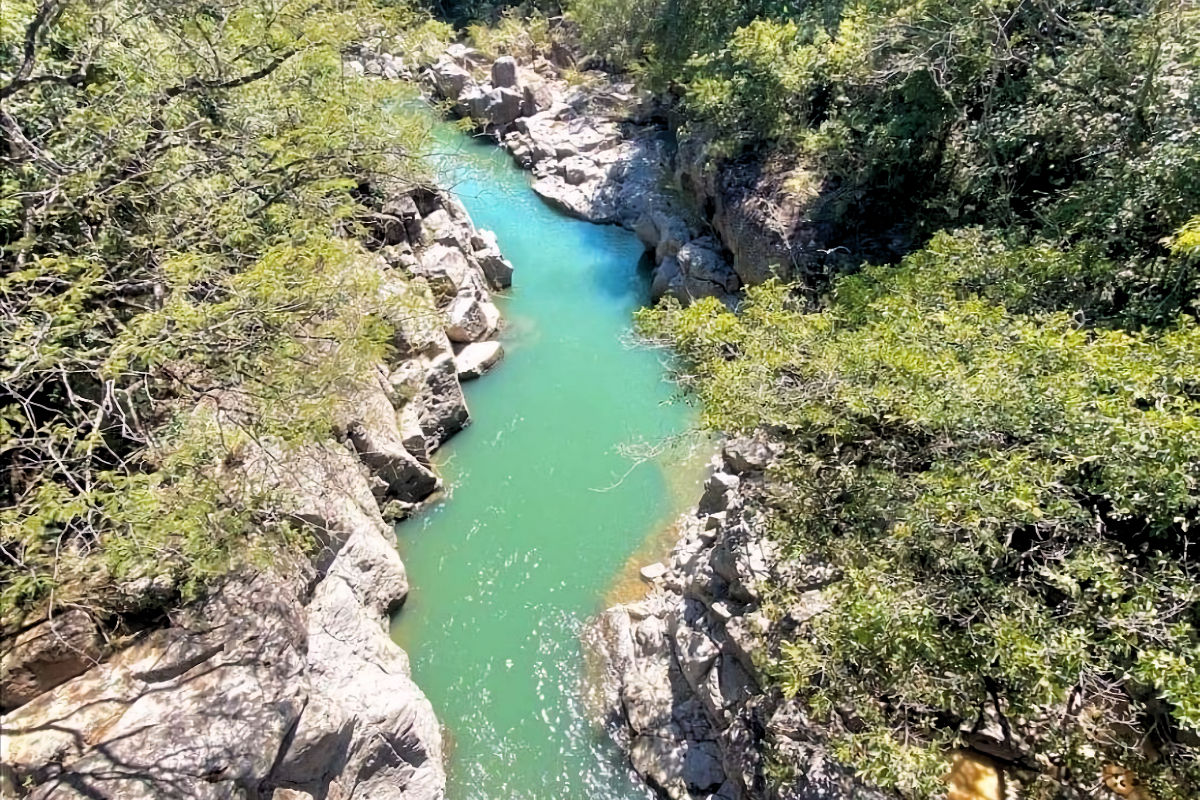
You will be enchanted by its 20 kilometers of emerald green waters and oak and pine forests. This paradise offers an excellent climate of 25 to 28° C, where you can comfortably recreate while hiking, relax if you prefer camping, or enjoy bathing in pools no more than 2 meters deep.
Sumpul River
If you are looking for a tourist attraction that offers all the comforts, visiting the Sumpul River is the best decision.
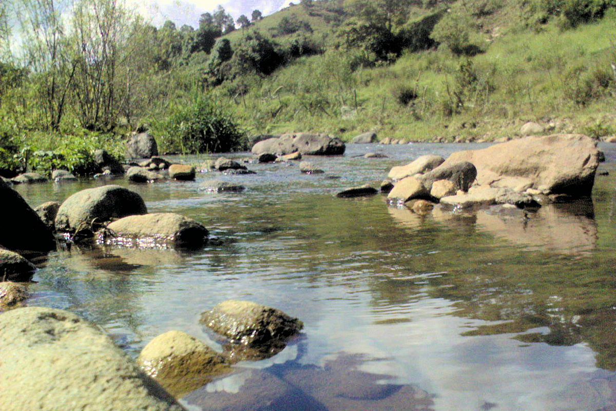
Its source is in San Ignacio village. The department of Chalatenango runs simultaneously through 8 towns, all of these departments. It is the geographic terminus (natural border) of Honduras and El Salvador and runs for 77 kilometers.
This short route between a few towns guarantees cleanliness and little contamination of the waters until it flows into the Lempa River. In the city of San José Las Flores, a tourist center has been built to delight tourists.
Torola River
Traveling to the eastern part of El Salvador, we will come across another vacation destination that integrates the rivers of El Salvador.
The Torola River, like the Sumpul, is the geographical boundary with Honduras. Its source begins in the municipality of Lislique in the department of La Unión. In a 100-kilometer journey, it crosses 15 towns spread between the departments of Morazán and San Miguel.
Plant and wildlife lovers will enjoy a guided visit, touring, and learning about the area for direct contact with nature. Its waters do not exceed a depth of 5 meters before pouring into the Lempa River.
Goascorán River
One of the most pleasant stays within the group of rivers of El Salvador is visiting the Goascorán River, located between the departments of La Paz and Morazán, where it crosses 13 different municipalities.
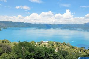
Find the main attraction at its mouth, Lake Fonseca, located in the Pacific Ocean, ideal for the practice of ecological and conventional tourism.
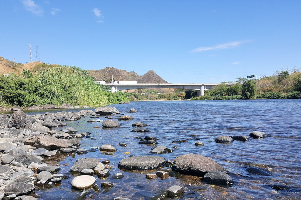
It is among the longest rivers in El Salvador since it runs between 115 and 130 kilometers, of which the last 18 are a dividing line with Honduras.
Acelhuate River
One of the best natural views is offered by the Acelhuate River, located in the department of La Libertad, one of the shortest rivers in El Salvador, whose 40 kilometers are a tributary of the Lempa River.
This tropical watercourse has suffered an excellent deterioration for some years due to the contamination produced by the neighboring inhabitants and a hundred companies.
However, it is still a habitat for many birds, mammal, and fish species, which could be an attraction to develop tourism plans aimed at its recovery and conservation, benefiting agricultural and tourism activities, as it still maintains a depth of up to 10 meters.
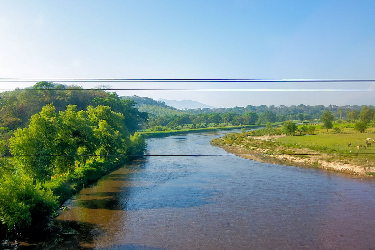
Sucio River
As its name indicates, this is the most polluted of rivers of El Salvador, causing a white hue in its waters. Because of its high levels of domestic discharges, coupled with the activities of about 15 agro-industrial companies, it does not allow the subsistence of aquatic fauna.
Its course is distributed between La Libertad and San Salvador departments, reaching 60 kilometers in length and with a depth of no more than 3 meters before flowing into the Lempa River.
Titihuapa River
Considered part of the culture and identity of the municipality of San Isidro, and crossing other more between the departments of Cabañas and San Vicente, of the rivers of El Salvador, the Titihuapa offers you the best opportunities for excursions oriented to the area of cultural and historical tourism.
This tributary of the Lempa River allows us to make exciting tours to the caves along its 15 kilometers, observe its ancient indigenous petroglyphs, and even enjoy the freshness of its tropical scrub and get beautiful pictures of the various rocky canyons shaped by its waters.
Tamulasco River
Located in the department of Chalatenango, the Tamulasco River basin is the sanctuary of many country birds and other wild animal species, which qualify it as a formidable tourist destination.
But this natural paradise is only limited to the initial 20 kilometers of the 30 that compose it since the remaining 10. Like other rivers in El Salvador, it is increasingly affected by pollution and other factors that reduce the level of its waters in specific periods, where it appears to be a small stream and not the vital water supplier of several areas.
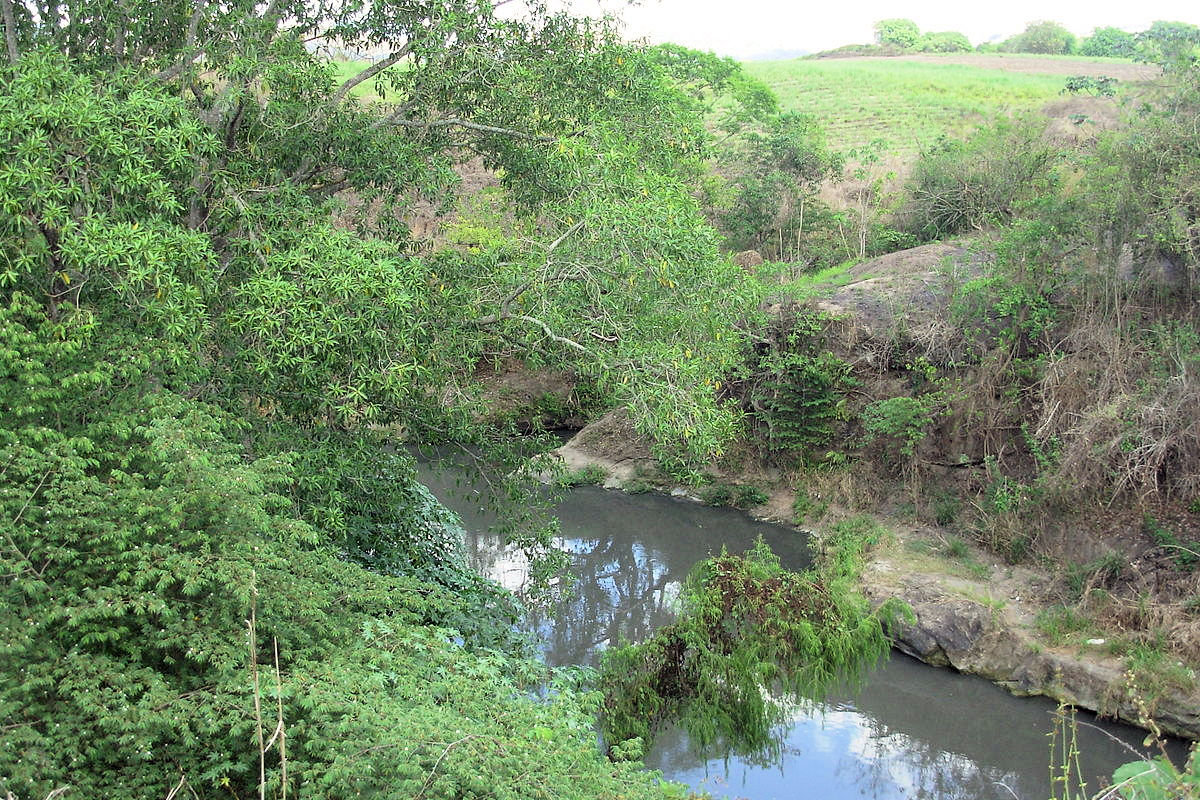
Suquiapa River
In the department of Santa Ana, born in the city of the same name and flowing into the Lempa river, together with two of the other rivers of El Salvador, the Suquiapa is one of the most polluted by domestic discharges from industries and agro-industries.
It is a little more than 20 kilometers long and runs through the municipality, becoming more abundant due to the aquifer contribution of other rivers in the area.
Sensunapán River
The Grande of Sonsonate or Sensunapán river is used for crop irrigation systems. It is not exploited for tourism, despite being an area with high biodiversity and cradle of places considered sacred in their culture.
As in some other rivers in El Salvador, there is ecocide on this natural wonder, thanks to the diversion of its waters for agricultural and hydroelectric purposes, achieving that in the rainy season has a depth of 3 meters and, during the summer, barely reaches one meter.
This ancestral river can’t recover naturally since seven hydroelectric power plants exploit its resources.
Maishtapula River
We conclude with one of the three rivers of El Salvador classified as the cleanest. The Maishtapula River is located in the municipality of San Francisco Menéndez, department of Ahuachapán.
Its waters have a green hue, and in the environment, you can appreciate a pleasant and cool climate at 765 meters above sea level.
It is an incomparable place to enjoy relaxing baths, with a relatively slow flow of water, causing it to become crystalline in areas with less depth.
This enchanting place is complemented by its lush vegetation and the varied species of birds and fish that live in its waters. It is part of El Imposible National Park, contributing to its ecological preservation.
In short, the rivers of El Salvador offer you the opportunity to live a different adventure when you visit them. True tropical jewels that cannot be missing from your travel itinerary for a well-deserved rest and a magical contact with nature.