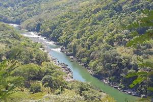
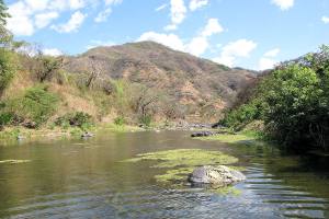
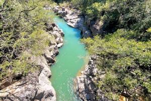
Cataloged as the longest river in Central America and the most important in El Salvador, it is called the Lempa River. Its natural course makes it pass through three countries (El Salvador, Honduras, and Guatemala) until it flows into the Pacific Ocean.
Those who know this imposing river compare it to the Amazon River, although its waters are much less abundant. The important thing is its significance for tourism and what it represents for El Salvador.

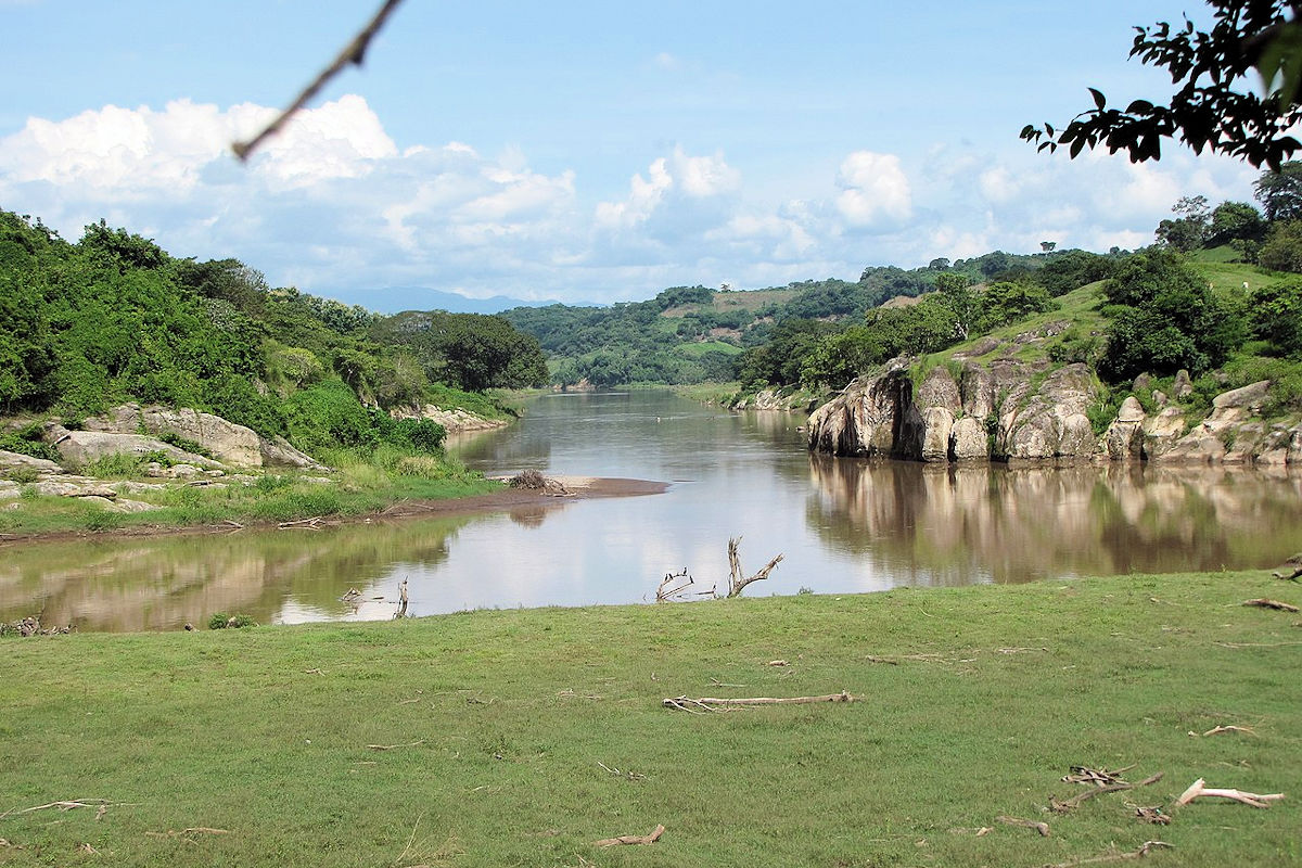
LEMPA RIVER-Rivers of El Salvador. Photo by mario pleitez. Wikimedia Commons.
It is a source of income for many families; its waters are used to irrigate various crops. There are some reserves and parks where you can enjoy all the place’s biodiversity.
To such an extent that, according to data from the Ministry of the Environment, the Lempa River is home to the most emblematic native species of El Salvador. There are species of flora and fauna, both aquatic and terrestrial, wetlands, mangroves, and more.
If you want to know what else the Lempa River offers, do not miss what we will show you below.
Lempa River Data
| Country: | El Salvador, Guatemala and Honduras |
|---|---|
| Category: | Rivers |
| River source: | Esquipulas |
| River Mouth: | El Playón, San Vicente |
| Length: | 422km |
| Basin Surface: | 17.790km² |
Location and course of the Lempa River
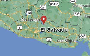
The Lempa River travels 422 kilometers until it reaches the Pacific Ocean. Along the way, it passes through three countries, starting in the Chiquimula Mountains of Guatemala. At this point, its approximate height is 1500 meters above sea level.
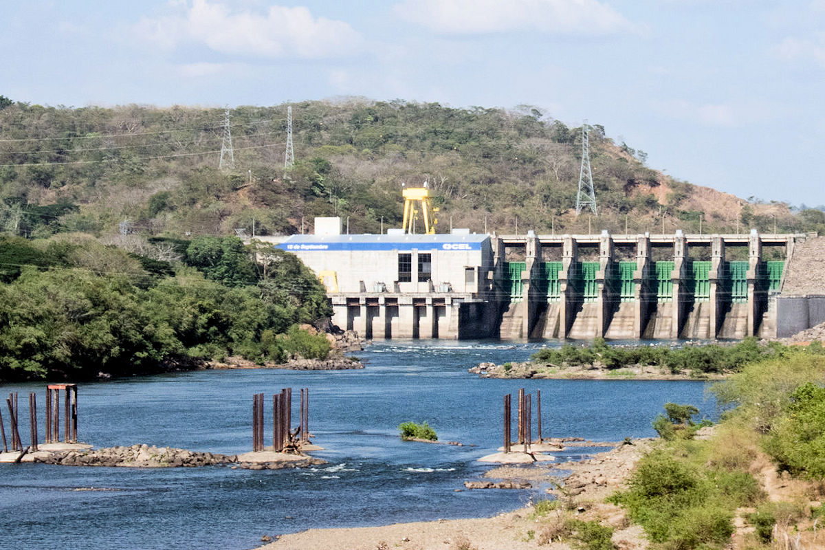
In addition, its waters join with other Guatemalan rivers in a 30-kilometer journey before entering Honduras. These rivers are Olopita, La Planta, Chacalapa and Tepoctún.
Once in Honduran territory, the municipality of Ocotepeque guides you for 31.4 kilometers until you reach El Salvador. Should note that it is in the mountains of this part of Honduras, where its elevation is 2805 meters above sea level.
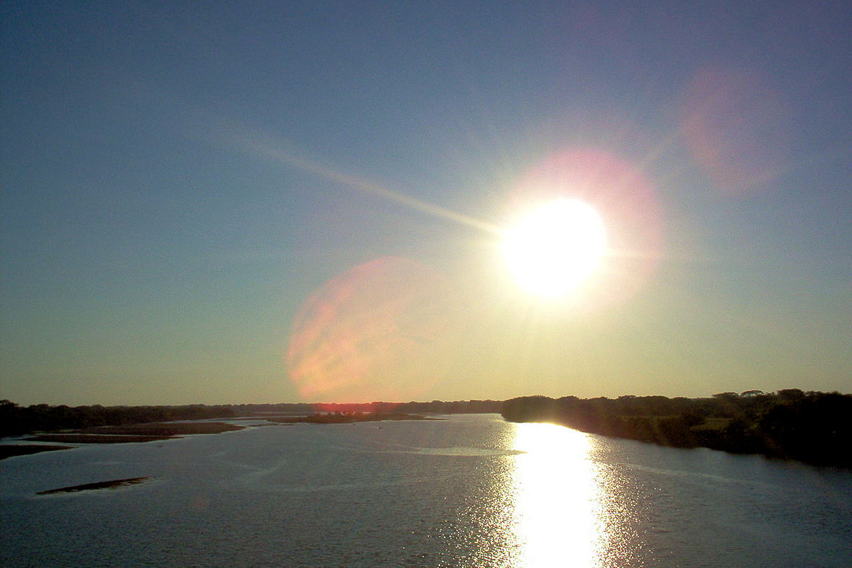
Now, it enters El Salvador in the department of Chalatenango and from there follows its trajectory to the department of La Libertad. It passes through San Salvador, Cuscatlán until it reaches Santa Ana, flowing into the Pacific Ocean between San Vicente and Usulután.
This entire route consists of 360.2 kilometers, extending 17,790 km2. Therefore, they are distributed in 10% for Guatemala, 25% for Honduras, and 65% for El Salvador.
Climate, Flora and Fauna
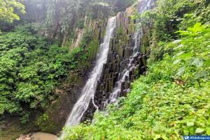
Biodiversity is what abounds in the Lempa River; it even has protected areas that migratory birds from North America use. Its plain is extensive, and its forests are full of as much life as ever. However, some of its areas are in danger due to climate change.
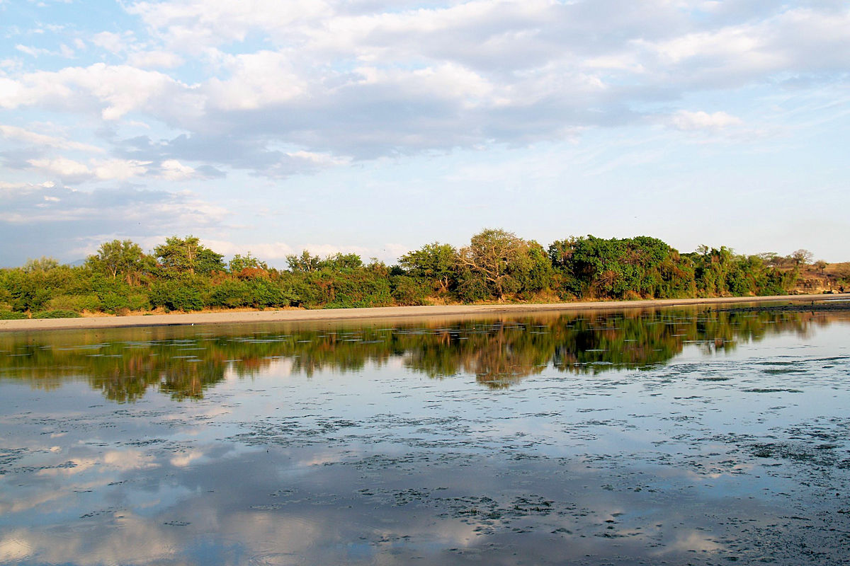
Climate and flora
The climate of the Lempa River is Tropical Hot Savannah type from a general point of view. Depending on the area, rainfall can be more or less dense. This gives rise to a rainy season of 6 months and the rest of constant drought.
The annual rainfall is estimated at 1600 mm of water in the central area, while at the extremes, it is 1800 mm. Given the climatic conditions, it has a flora mostly of forest cover where extensive pine forests and cloud forests are appreciated.
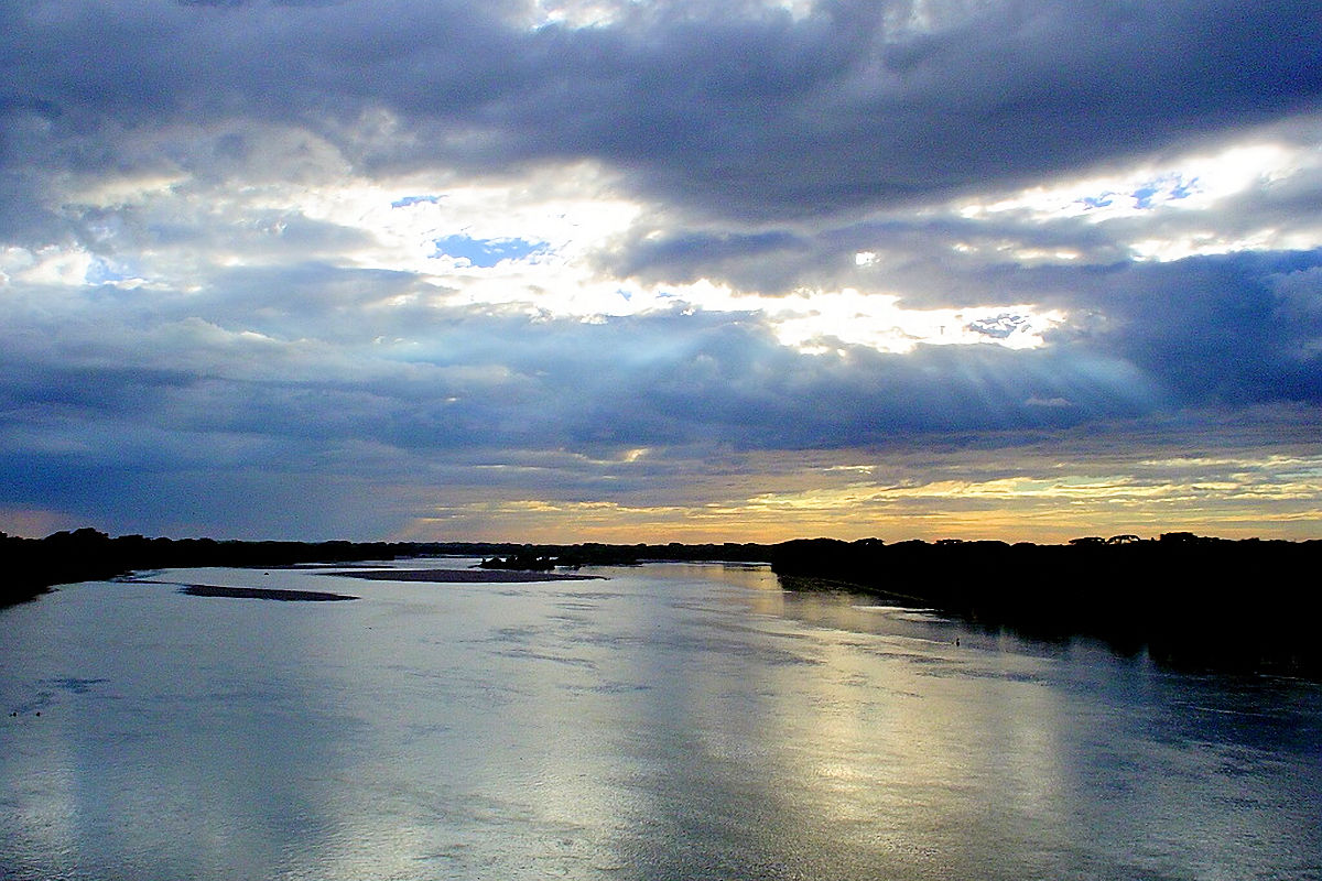
The closer the river, the lower the temperatures decrease, generating humid and coniferous forests. The latter are the most affected by climate change. On the other hand, the flatter area also has forests. But they are deciduous, dry, lowland, and mangrove forests.
These forests are made up of pine, cypress, and oak. In addition, it is home to more than 200 species of orchids, many in danger of extinction.
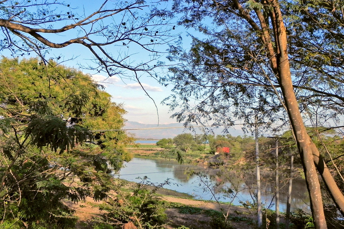
Fauna
As for the diversity of fauna in the Lempa River, it is as extensive as its flora. This is the habitat of amphibians, hundreds of reptiles, mammals, and above all, native and migratory birds. In this sense, you can see salamanders, the Central American spider monkey, and the dragon of Montecristo.
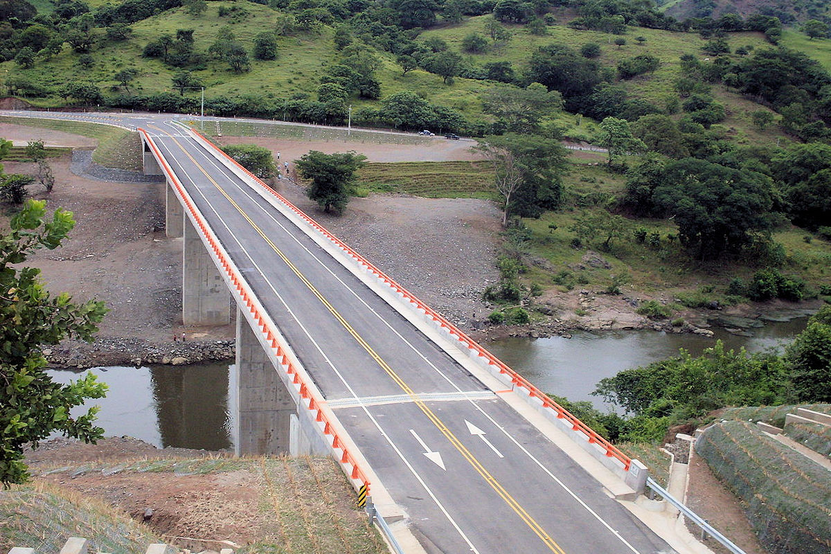
Raccoons, bats, and armadillos are also abundant. Concerning birds, the most common are the heron, magpie, duck cuché, pijuyó, among others. In short, a natural wealth that you can not miss and enjoy.
Activities we can do in the Lempa River
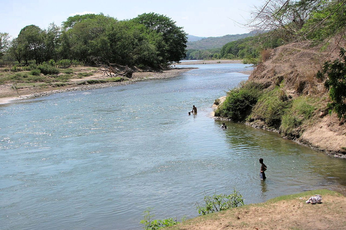
The Lempa River waters are used for various productive purposes of great importance for the country. Here fishing stands out, and its basin is used for electricity production and water for irrigation.
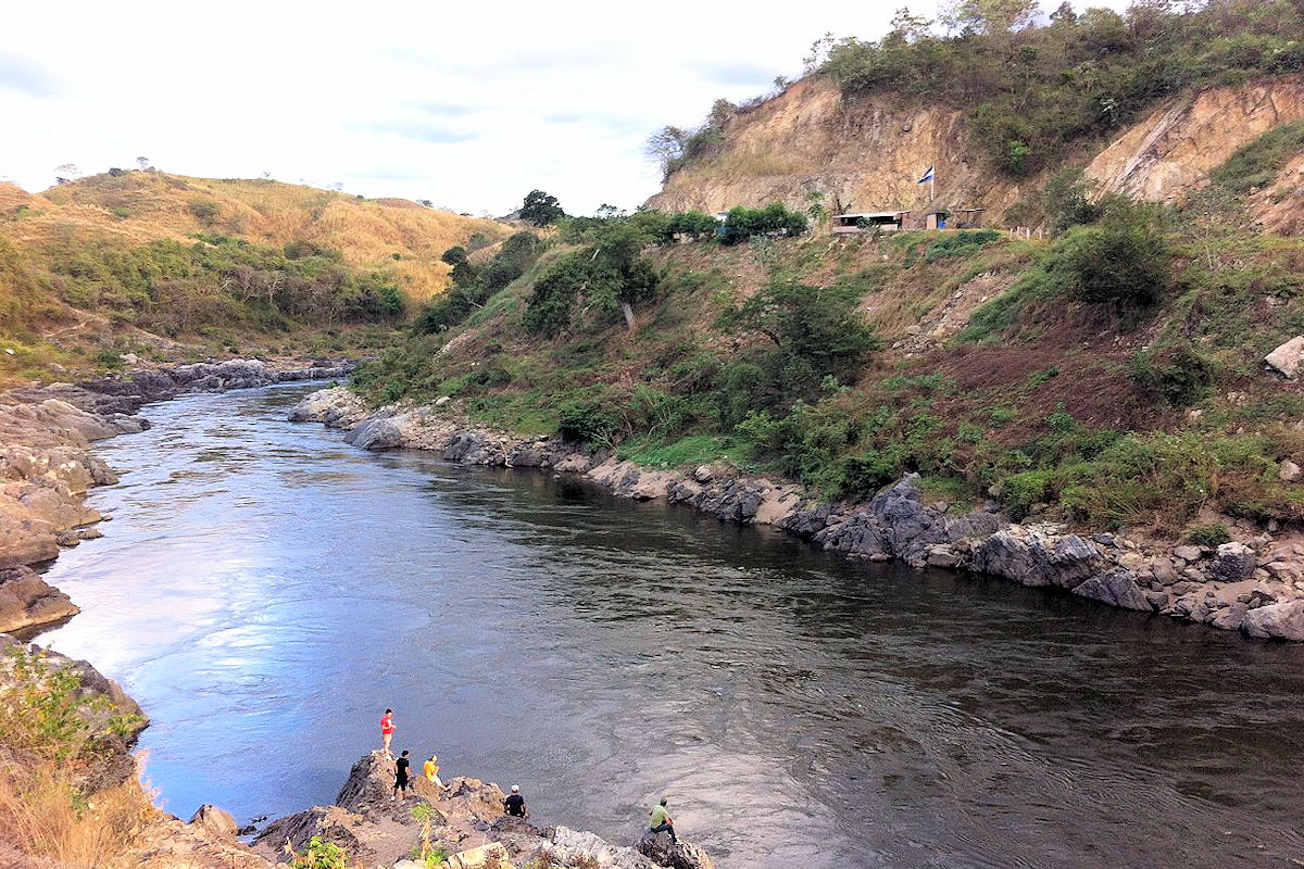
However, there are areas destined for tourism, and it is there where there is an abundance of activities that can do. A place where there are many options for eco-tourism and extreme tourism. Some examples are:
- Boat rides from end to end or in the surroundings.
- Jet ski rides.
- Fishing.
- Water skiing.
- Hiking in the woods.
- Camping.
- Kayaking.
- Rafting.
- Landscape photography, among others.
Prices and schedules
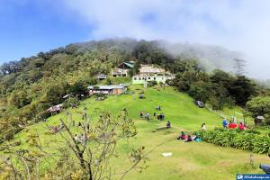
Because of the large size of the Lempa River, there are different areas to access and enjoy a day full of adventures. First, there is the Montecristo Trifinio National Park, which you must call in advance to reserve the entrance. Their prices are:
- Tourist entrance fee: $6 for foreigners and $3 for nationals.
- Camping area: the daily rate for foreigners is $6 per day, and residents pay $3.
- Cabin rentals: cabins are available for all tourists at $40 daily.
- Park entrance hours: entrance to the park is from 7:30 am onwards.
Another area from which you can access is from Güija Lake Entrance is free and does not require any type of reservation. If you wish to carry out any special activity at the lake, you may request information on costs.
Nearby places to visit
If you want to make your visit an even more rewarding experience besides visiting the National Park and Lake Güija, you can’t miss Jiquilisco Bay. If you have time, take the opportunity to hike through the Nancuchiname Forest and, finally, go to the Cerrón Grande Reservoir.
After finishing the tour, be sure you will not want to leave these lands. So for your next vacation, you have a new world to discover, starting at the Güisayote Biological Reserve.
